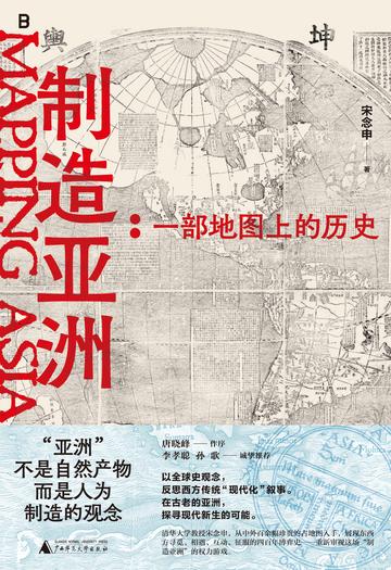
The author uses ancient maps as a medium and material to explore the situation we call "modern" with the help of the emergence, development, change and finalization of East Asian shapes in the map. In other words, this book explores "time" deeply embedded in the representation of "space". More importantly, this book focuses on how various forms of power structures—capitalism, territorial states, colonialism, and imperialism—were presented and expressed through maps in the "early modern period." What role does East Asia play at this critical historical moment? What is its relationship with the so-called "West"?
Using ancient maps as visual materials, this book introduces historical narratives by looking at and describing pictures, and strives to introduce cutting-edge and interesting academic thinking to ordinary readers through straightforward and vivid words.
Reader comments
Moreover, the content in the book is not difficult to understand, and ordinary people like me can also have fun reading it. After reading it, I also learned a lot about cartography and history. It feels like this book is like a treasure trove of countless secrets, and you will gain something new every time you read it. Recommended to friends who are interested in history and maps, you must read it!
Moreover, the content in the book is not difficult to understand, and ordinary people like me can also have fun reading it. After reading it, I also learned a lot about cartography and history. It feels like this book is like a treasure trove of countless secrets, and you will gain something new every time you read it. Recommended to friends who are interested in history and maps, you must read it!